|
Does the technology available to the land surveyor of today make him
a better surveyor than the land surveyor of 1950? No, it does not. It
may enable him or her to be more accurate and efficient, but no equipment
will turn a mediocre surveyor into a good one.
The cornerstone in land surveying is, and always will be, the establishment
of property boundaries. A surveyor must possess a firm understanding
of boundary law and how the evidence he or she observes in the field
fits into and is affected by that law. While the courts have the final
word as to a boundaries location, the surveyor must assume a quasi-judicial
role in that process.
That being said, BenchMark Surveying has been a leader in the region
in adopting new technologies that improve our services to our clients.
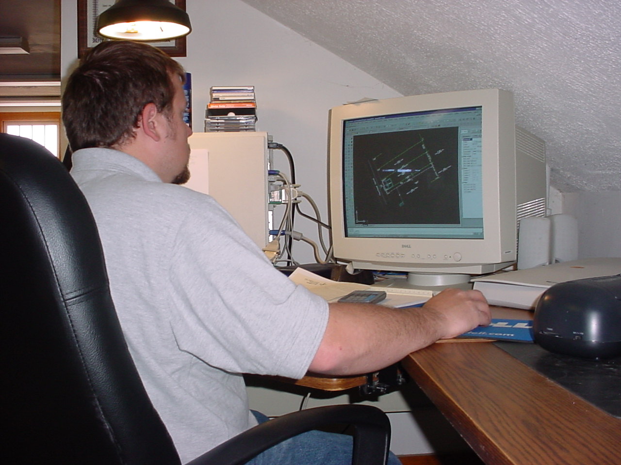
BenchMark was one of the first private sector surveying firms in the
region to use computer aided drafting technology (CAD). This equipment
has increased our efficiency and the quality of our drawings.
BenchMark Surveying was the first and for several years the only area
surveying firm to employ the use of global positioning system (GPS)
technology. The use of mapping grade equipment has permitted us to add
land improvement and land use data to our boundary plats at a reasonable
cost that make them much more usable than those of our competitors.
Our survey grade GPS equipment has enabled us to perform control surveys
and large-scale retracement surveys in a more efficient manner. We also
employ the use of a mapping software that enables us to integrate information
from U.S.G.S. topographic maps and satellite photographs on our survey
drawings.
Does all this make us a better business? Yes it does, because it enables
BenchMark Surveying to provide a better product to our clients.
|