Some of the most requested types of land surveys include:
|
Boundary Retracement Survey: |
A survey for the purpose of identifying, verifying and resolving the location of previously fixed property boundaries. | 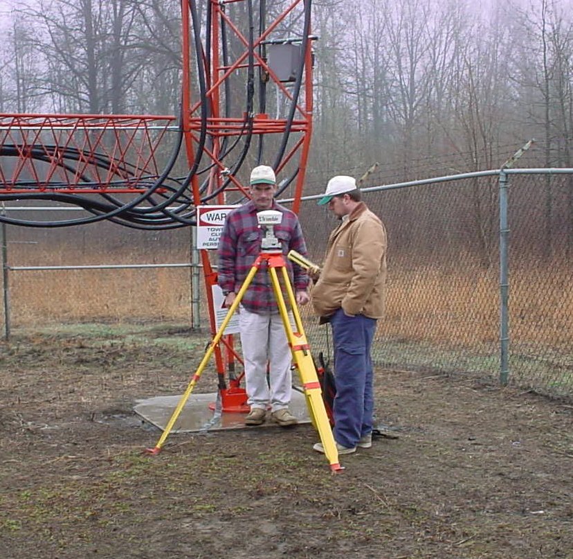 |
|
Subdivision
Survey: |
A survey to establish and document the location of boundary lines on a newly established parcel. | |
| ALTA/ACSM
Land Title Survey: |
Normally a boundary retracement survey with additional items added to satisfy title companies done to standards developed by the American Land Title Association and the American Congress on Surveying And Mapping. | |
| Topographic
Survey: |
Mapping to indicate the elevations and contours of the land; also shows features both natural and artificial (e.g. streams buildings, quarries, fences, roads, woodlands, etc.). | |
| As-Built Survey: | A survey done post- construction to document the location of recently constructed improvements. | |
| Flood Boundary Survey: | A survey to document the relationship of established flood boundaries to improvements on a parcel of land. | |
| Elevation Certificate: | A form documenting the extent of involvement of structures within an established floodplain to be filed the Federal Emergency Management Agency (FEMA). |
|
| Forensic Survey: | Mapping to show the relationship between features and human activity. Most often used as evidence or exhibits in legal proceedings. | |
| GPS Services: | Sub-meter mapping of features on a parcel (often used to enhance a boundary retracement survey) and sub-centimeter surveying for control surveys. | |
| Construction
Staking: |
Providing
control staking for the alignment and construction of roads, buildings,
pipelines and other improvements to the land. |
|